3D Surveying
We have introduced drone photography to collect and extract information to convert it into realistic 3D models of your site.
Photogrammetry Technology to accurately and precisely map your site
We use drone photography to collect and convert information into realistic 3D models. Our team ensures your model is accurate and with the use of Drone RTK georeferencing and Global Positioning System (GPS) technologies, we know the exact location on earth of each of the million points used to create your model.
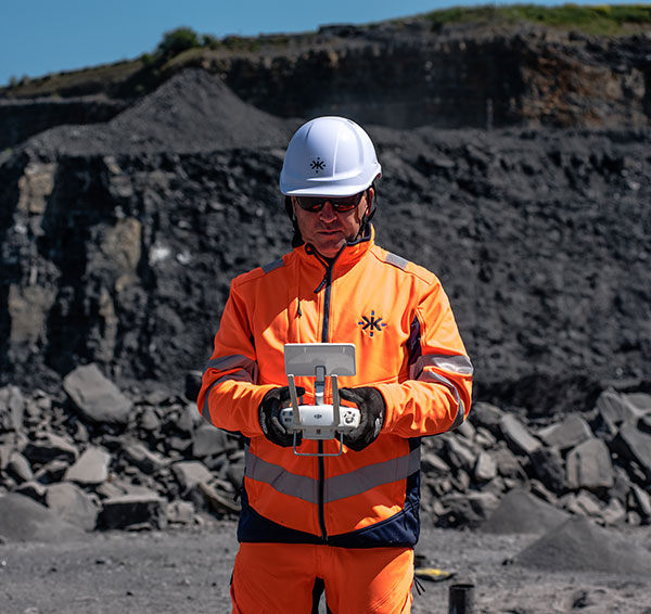
All of our Technical Services Engineers have Drone Pilots Certifications by the Aviation Authorities of their jurisdictions. Using technology and an experienced team, we survey your site to ensure the efficient use of explosives within the blasting process and comply with the relevant Quarry Regulations.
As drones have limitations related to climate conditions and proximity to airports, our team can perform surveying using 3D Laser technology. Our Blast Design Software is able to process both drone and laser models.
All our services are included within the scope of the Kemek’s ISO 9001 Quality Management System and ISO 45001 Occupational Health and Safety.